


 E-Services
 Open Data
 Digital Participation
 Contact
The United Arab Emirates University organizes the 1st International Workshop on GIS and Natural Disaster Management
Mon, 6 June 2022
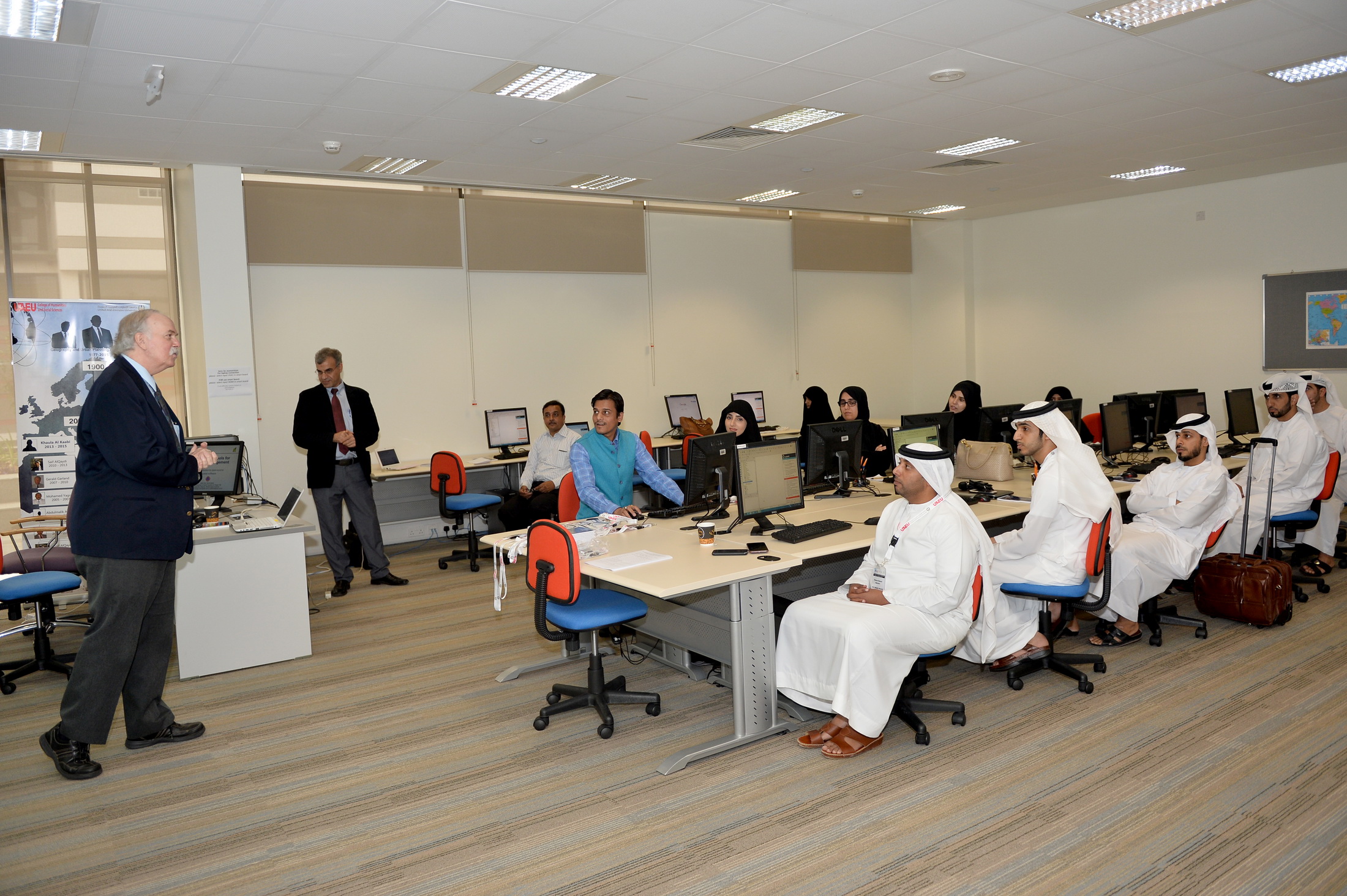
The Department of Geography and Urban Planning in the College of Humanities and Social Sciences at the United Arab Emirates University organized a workshop entitled ‘GIS Technology for Natural Disaster Management – Open Source Learning Systems’ on Monday, December 7th, 2015, in the Crescent Building at UAEU. It was organizes in collaboration with the Global Space Institute and the Institute for Disaster Management from Waterloo University, Canada. The workshop is part of the university’s strategic plan to strengthen its position and contribute to the promotion of education and innovation in the UAE.
Professor Scott Madry, Executive Director of the Global Space Institute; a lecturer at the University of North Carolina and a head coach at NASA said that, “the use of open systems for a quick and effective response to disaster and crisis management is a universal trend in terms of global cooperation between countries in order to mitigate the effects of disasters and ensure a speedy and effective response. This is done by using the latest technology such as remote sensing and geographic information systems (GIS) that can provide models.” He described the K-GIS, US in SAIS, and Grass systems that connect different systems onto one platform in more than one location across the globe. He also explained how to simulate natural disasters through open systems such as Esri, GIS, ARC and Voos. Free open source programs can be used by students and researchers in these areas, especially in countries that are unable to afford the high cost of these programs. He showed the attendees how to manage natural disasters using geographic information systems (GIS).
Professor Saied Pirasteh, chairman of the Waterloo Institute for Disaster Management, also spoke at the workshop. He explained the importance of crisis and natural disaster management and demonstrated the use of the latest systems and remote sensing technology. He showed how to use them to deal with crises and disasters. He added that, “in the workshop, we describe the latest global systems to monitor and control climate change. We have visited several countries such as Thailand, Australia, Canada and Jordan before. This year we are in the UAE to discuss the latest findings such as LiDAR techniques, X-mapping systems and other applications that can help to protect our future by reducing the effects of natural phenomena such as global warming and marine seismic activity (tsunamis) among other disasters.” He stressed that this workshop involved input from more than 29 countries.
At the end all the participants (including faculty and students) received K-GIS Unix applications so they could work on remote sensing and GIS. There were participants from India, China, the USA and at the workshop.
This workshop was, was sponsored by both the UAE Space Agency and of the Mohammed Bin Rashid Space Center as well as by UAEU and the WIDM Institute for Disaster Management.
Do you find this content helpful?
عفوا
لايوجد محتوى عربي لهذه الصفحة
عفوا
يوجد مشكلة في الصفحة التي تحاول الوصول إليها