

UAEU research team developed “GeoZ: a Region-Based Visualization of Clustering Algorithms”
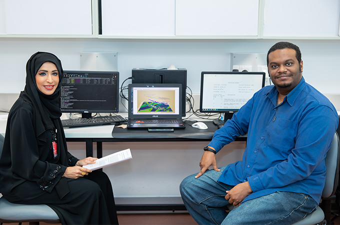
The aim of the study was to present an approach utilizing machine learning (ML) algorithm models that can be trained to any specific dataset to produce decision boundaries. These boundaries are overlaid onto the geographic coordinate system (GCS) to generate geographic clustering regions. The proposed approach is implemented in the Python Package Index (PyPI) as a geovisualization library called geographic decision zones (GeoZ).
The efficiency of GeoZ was tested using a dataset of groundwater wells in the State of California. The authors experimented with 13 different ML models to determine the best model that predicts the existing regional distribution (subbasins). The support vector machine (SVM) algorithm produced a relatively high accuracy score and fulfilled the required criteria better than the other models. Consequently, the tested SVM model with optimized parameters was implemented in the GeoZ open-source library.
However, it is important to note that limitations in the application of GeoZ may arise from the nature of the SVM algorithm, as well as the volume, discontinuity, and distribution of the data. The authors have attempted to address these limitations through various suggestions and solutions.
The research team includes Dr. Dalal Matar Alshamsi, Associate Professor at the Geosciences department and the director of the National Water and Energy Center, Mr. Khalid ElHaj, Ph.D. student, and Professor Ala Aldahan from the Geoscience department.
To read more about the research: https://link.springer.com/article/10.1007/s41651-023-00146-0